Services
About Us
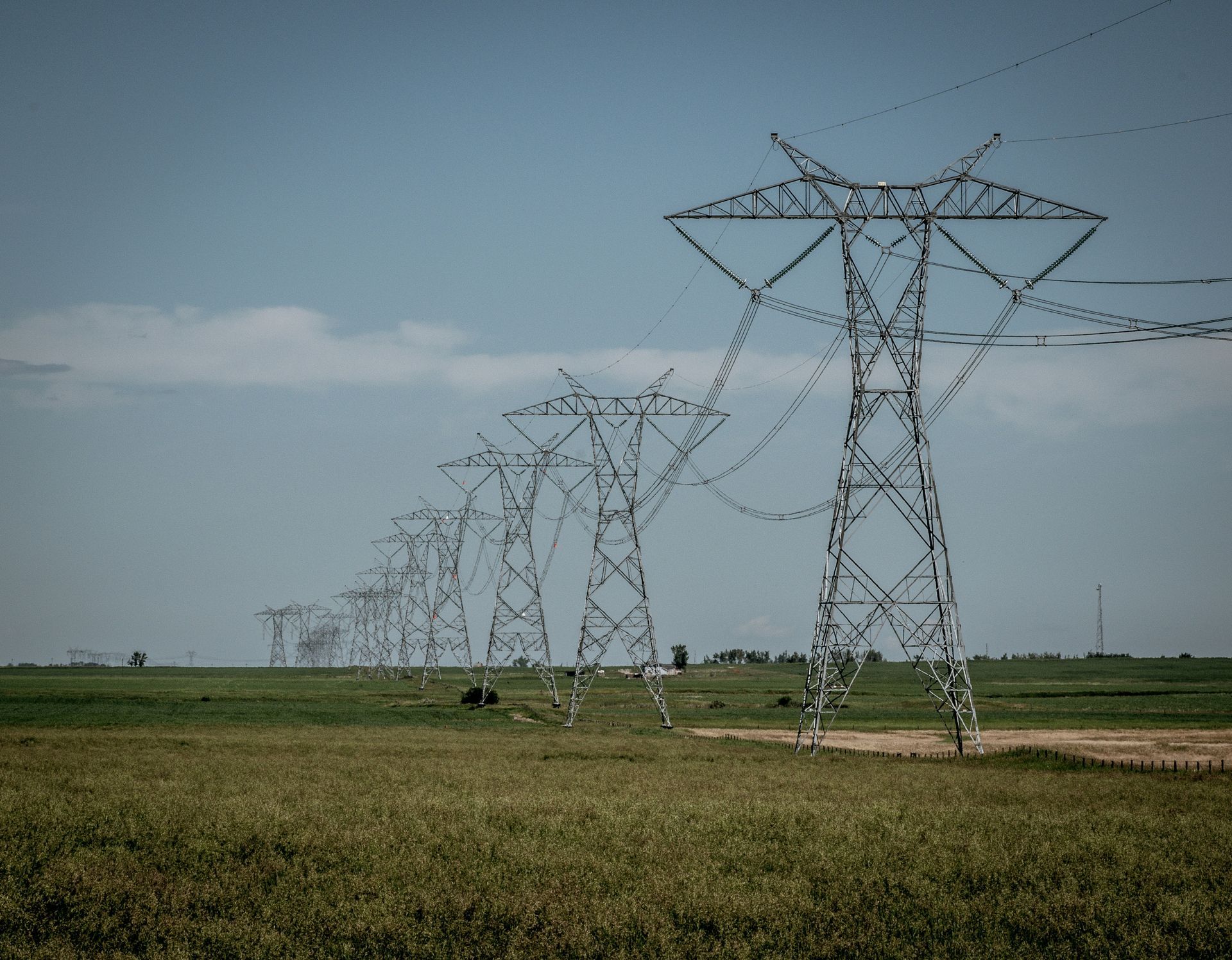
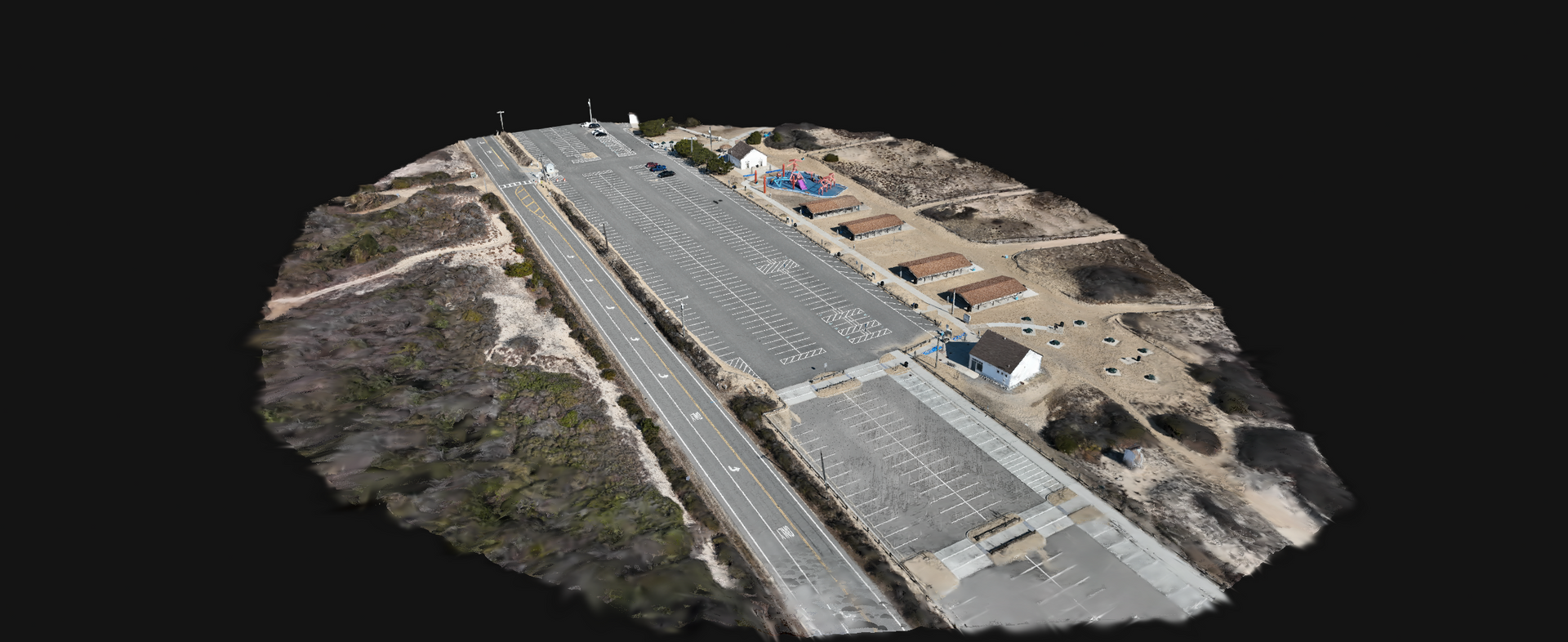
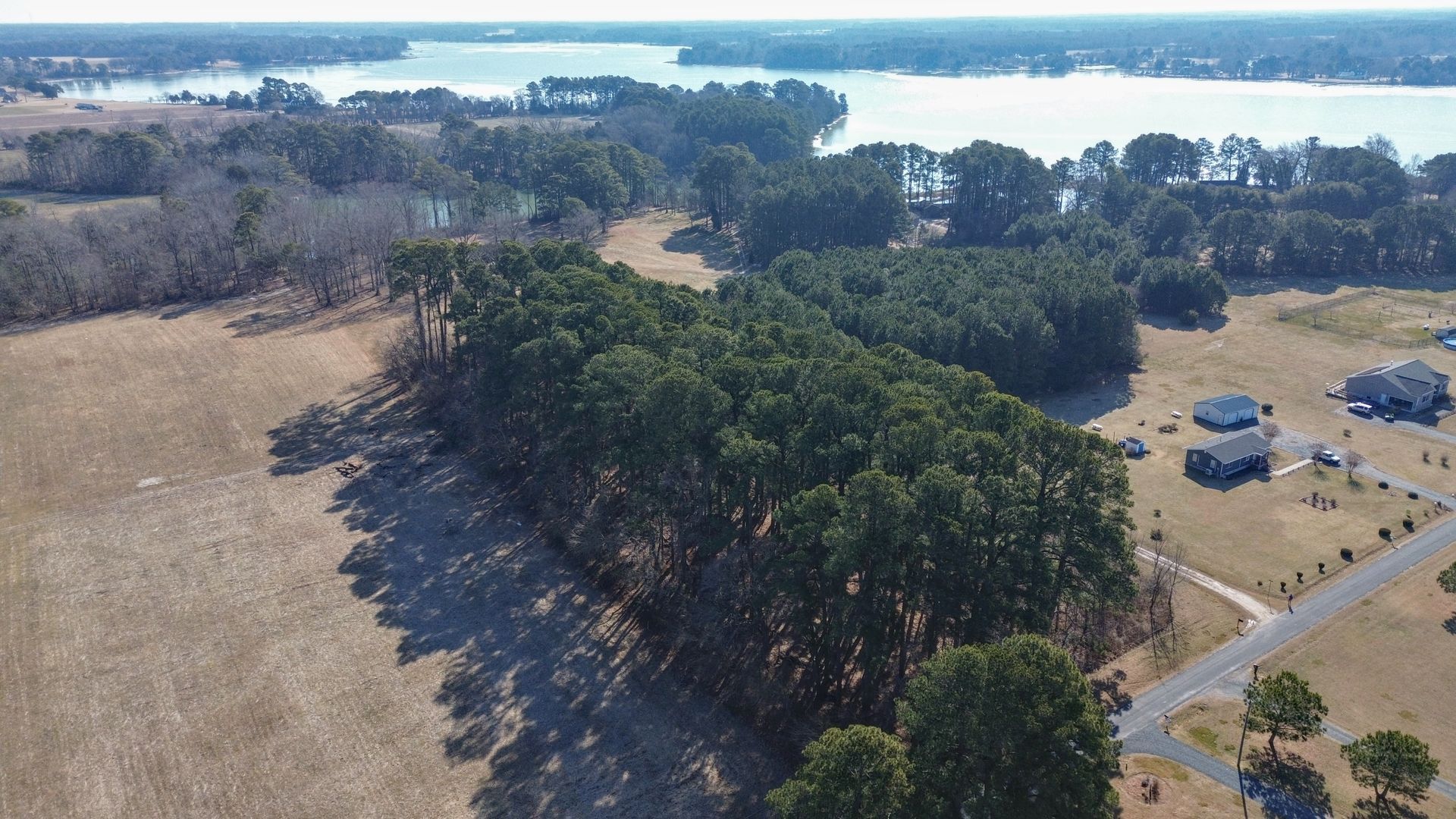
Cyanis is a disabled veteran-owned aerial intelligence and geospatial data company focused on helping organizations gain clearer insight into their projects and assets. We deliver high-accuracy aerial mapping, 3D modeling, infrastructure inspections, and defensible project documentation that enable teams to reduce risk, prevent costly rework, and make faster, more informed decisions.
Serving industries such as construction, telecom, infrastructure, engineering, and government, Cyanis transforms aerial data into actionable intelligence that improves visibility across complex projects. By combining advanced UAS technology with structured data processing and reporting workflows, we provide reliable deliverables that support operational efficiency, project oversight, and long-term documentation needs.
Customer satisfaction remains at the core of everything we do. Cyanis is committed to clear communication, dependable service, and delivering high-quality intelligence that clients can trust when making critical project decisions.